Orientation
Choose one zone, then verify it
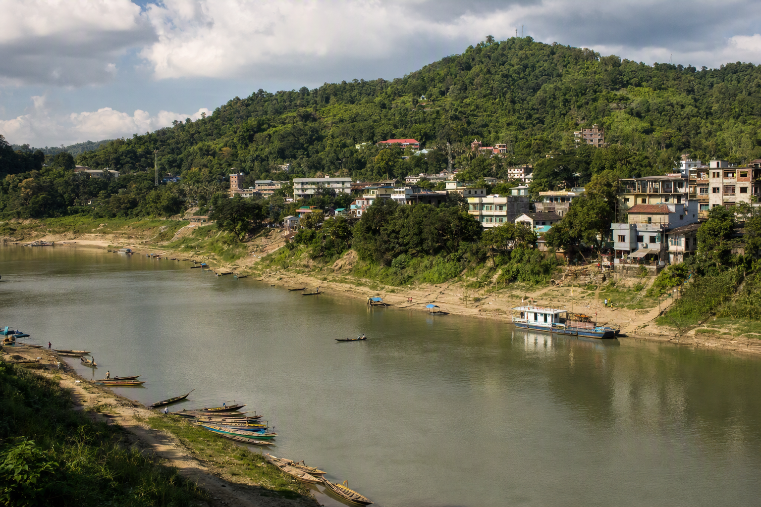
Bandarban town sits beside the Sangu River and works well for a short stay built around nearby viewpoints and religious sites. The district extends far south and east through steep terrain inhabited by Marma, Mro, Bawm, Tripura and other Indigenous communities. Remote itineraries advertised online can be outdated, physically underestimated or temporarily prohibited.
Separate the district into practical zones: town and near-town sights; the Nilgiri–Thanchi road; and the Ruma direction. Attempting to combine zones in a single day creates unnecessary night driving and leaves no margin for checkpoints, rain or road delays.
Landmarks
What to see
Nilachal
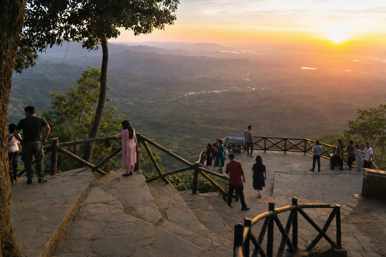
A hill viewpoint close to Bandarban town, useful for an arrival or departure day. Clouds, haze and crowds change the experience. Go early and stay behind barriers, especially after rain.
Buddha Dhatu Jadi
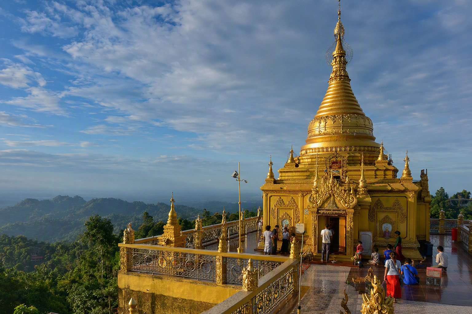
Often called the Golden Temple, this hilltop Theravada Buddhist complex is an important religious place, not simply a photo stop. Entry conditions can vary. Dress modestly, observe signs and confirm visiting hours locally.
Meghla tourism complex
A developed recreation area near town with water and hill views. It is a low-complexity option for families or poor-weather days, though outdoor features can still close for maintenance.
Nilgiri and the Thanchi road
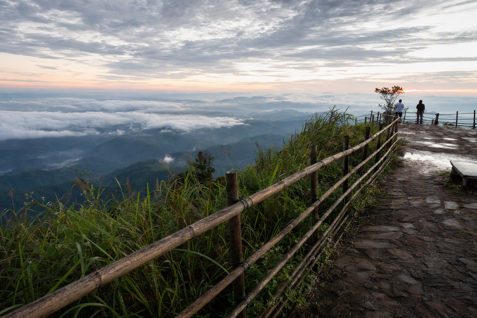
A celebrated high road south of town with broad ridge views. Check current permission, checkpoint and vehicle arrangements before setting out. Fog, rain and sharp bends make daylight travel important.
Sangu River
The river shapes life around Bandarban and Thanchi. Any boat trip should be arranged locally based on water level, weather and permitted route. Wear flotation and avoid night travel.
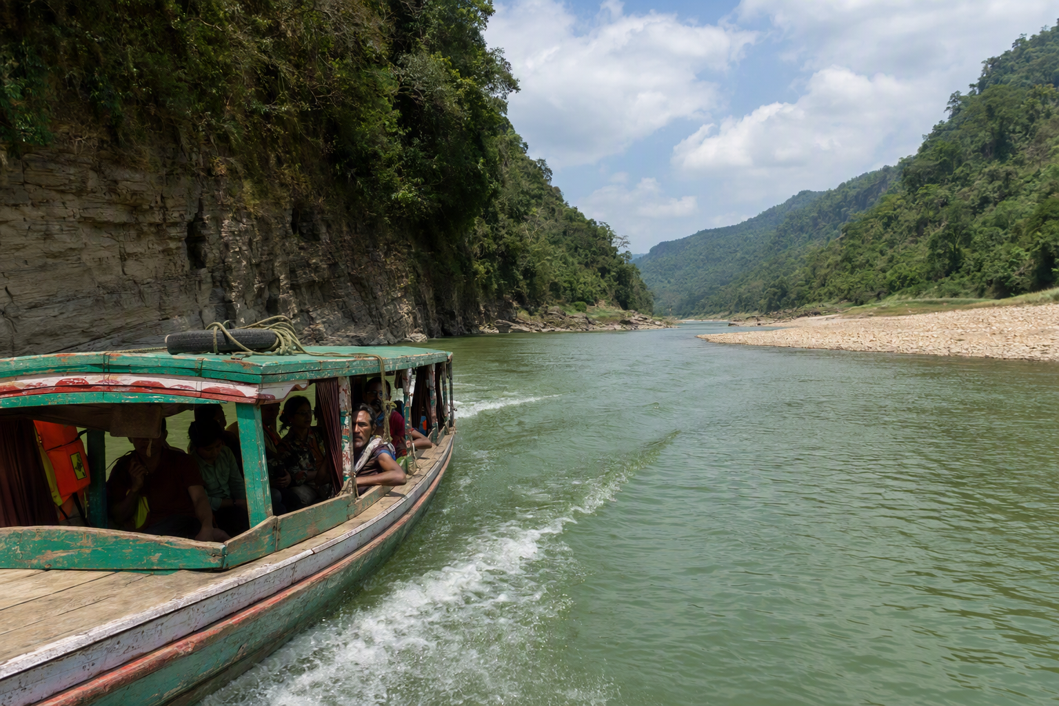
Ruma, Boga Lake and beyond
These names describe a remote route system, not a casual day trip. Guide requirements, registration and closures can change. Only proceed after explicit current confirmation, with an authorised local guide and enough buffer for an altered return.
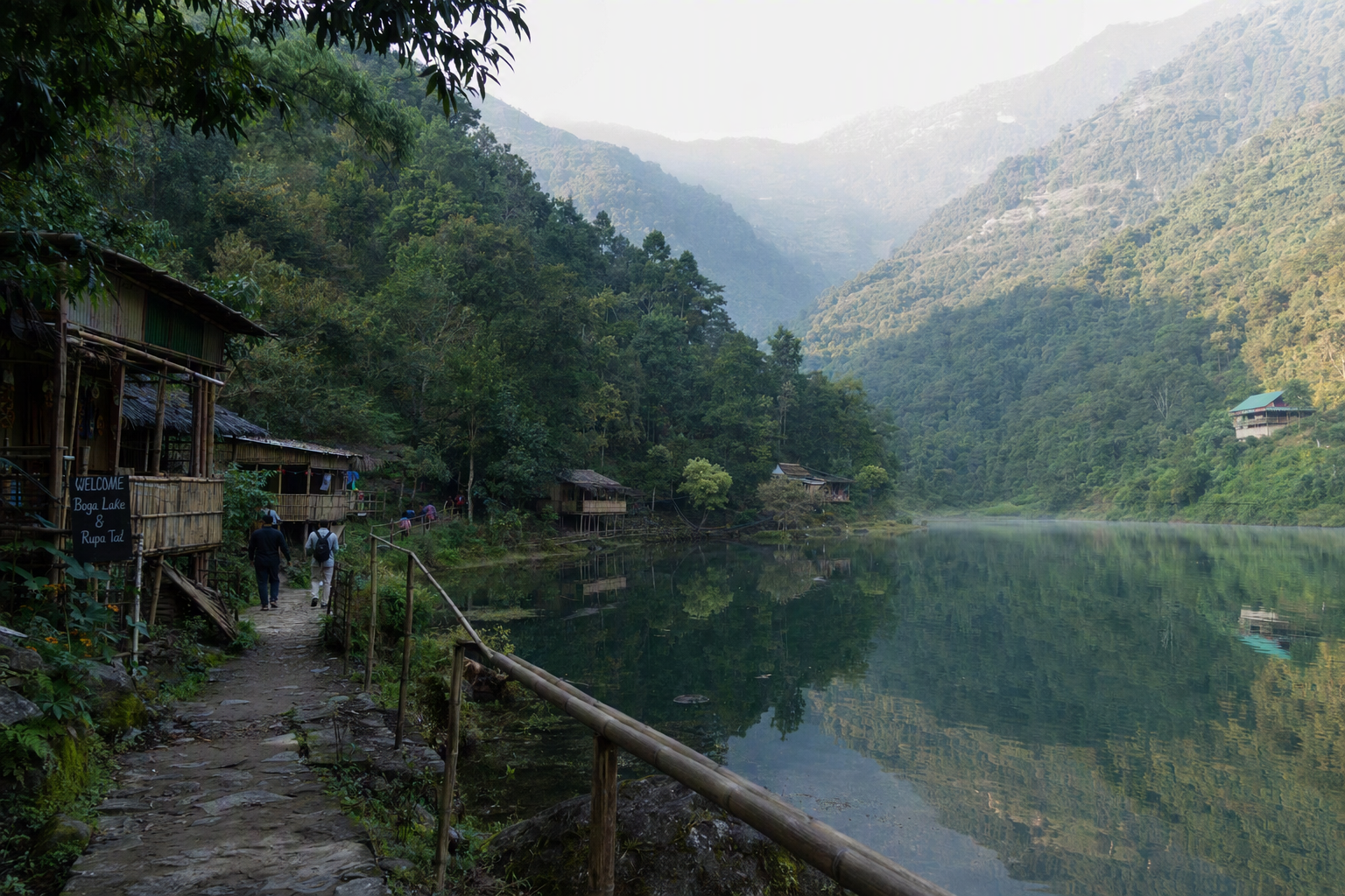
Route ideas
Buildable itineraries
One day: Bandarban town loop
Combine Buddha Dhatu Jadi, a town lunch and either Nilachal or Meghla. This is the most resilient plan when access beyond town is uncertain.
Two days: add one ridge road
Keep day one near town. If permissions and weather align, dedicate day two to Nilgiri and return well before dark. Carry water and a warm or rain layer.
Four or more days: one remote direction
Choose Ruma or Thanchi only after verification. Register as required, hire an authorised guide, carry cash and allow a full contingency day. Never promise yourself a peak, lake or waterfall regardless of changing orders.
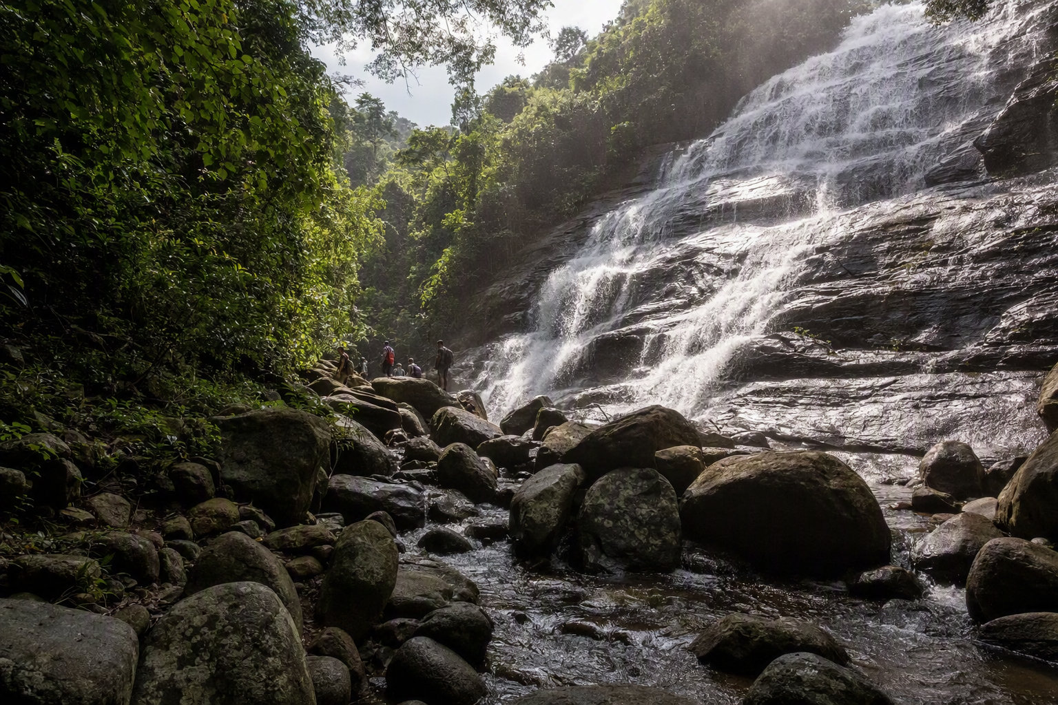
Nafakhum is one example of a remote waterfall whose route status, river conditions and guide requirements must be checked before departure.
Practicalities
Season, transport and stays
When to go
November–February generally offers cooler days and more dependable roads, with cold mornings possible on exposed ridges. March–April is hot. Monsoon travel brings cloud and powerful rivers but also landslides, leeches, low visibility and cancelled routes.
Getting there
Buses normally link Bandarban town with Chattogram, and road connections may operate from Cox's Bazar. Dhaka travellers often use a direct coach where available or connect in Chattogram. Avoid planning a tight onward journey on arrival day.
Getting around
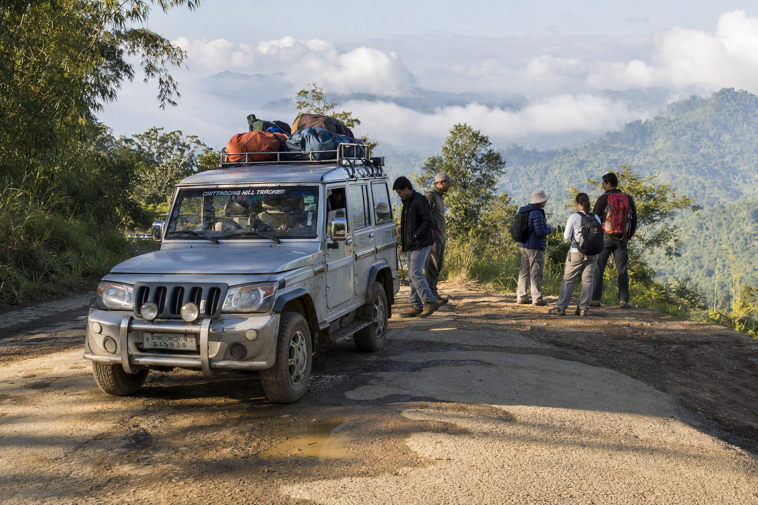
Auto-rickshaws cover town sights. Steeper, more distant roads typically use locally arranged four-wheel vehicles, often called chander gari. Vehicle type does not eliminate road risk. Confirm driver experience, route permission, seating and return time.
Where to stay
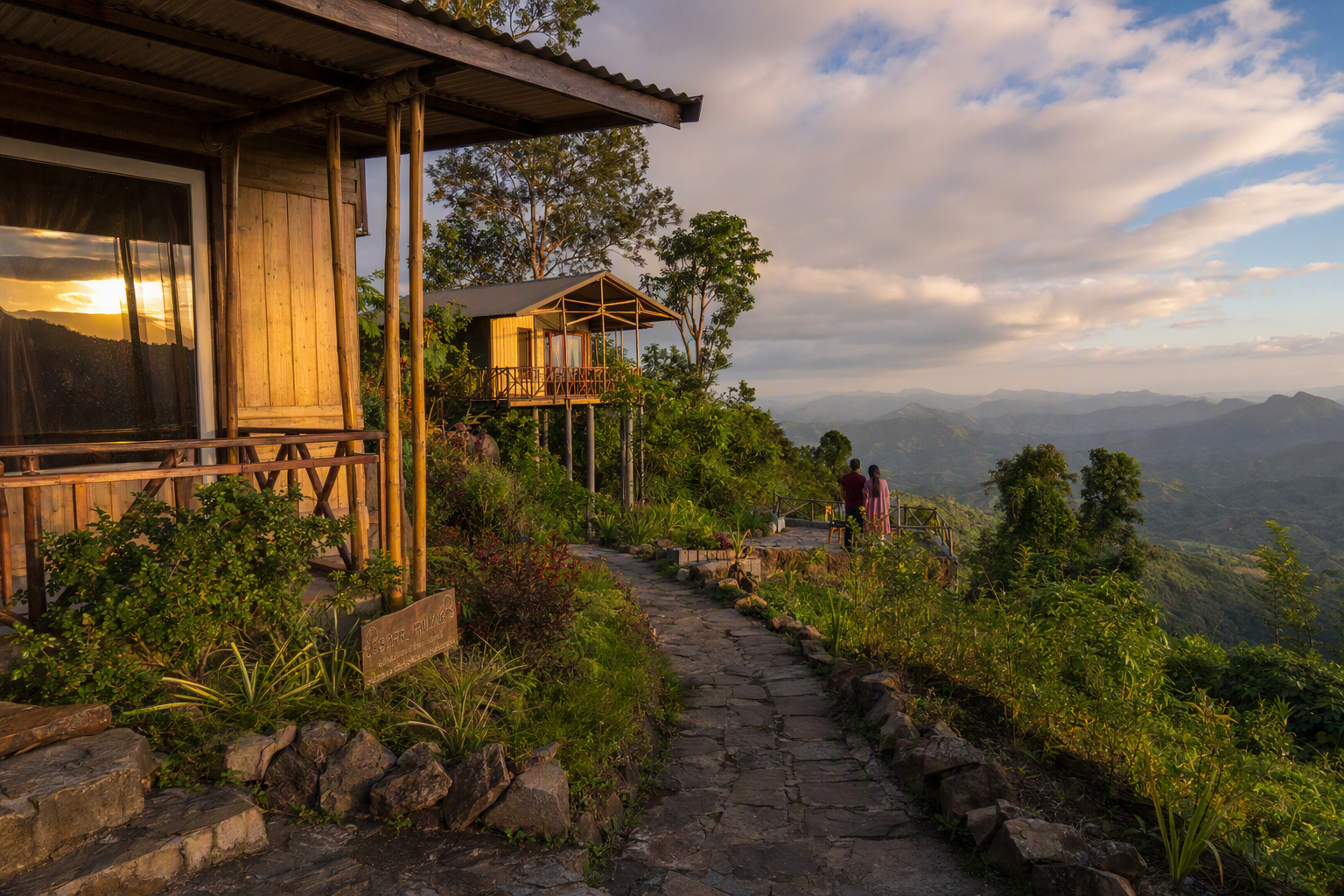
Bandarban town has the broadest range and easiest logistics. Ridge resorts may offer views but add transfer time and isolation. Remote stays are route-dependent and should be booked through a guide or established operator after access is confirmed.
Travel well
Safety, etiquette and conservation
Safety
- Check official travel advice and district-level orders close to departure. Some foreign governments advise against travel in parts or all of the Hill Tracts.
- Carry identification, register where directed and use authorised local guides on remote routes.
- Do not bypass checkpoints, closures or guide rules even if old blogs describe open access.
- Avoid night road and river travel. Turn back for heavy rain, fog or driver concern.
Etiquette
- Ask before portraits, village entry, ceremonies, homes and drone use.
- Dress modestly and remain quiet at Buddhist sites; follow gender- or space-specific instructions.
- Do not distribute sweets, money or medicine to children.
- Pay guides, drivers and hosts fairly and clarify whether community fees are included.
Conservation
- Carry all waste back to town, including batteries and sanitary products.
- Avoid single-use bottles when safe refills are available.
- Do not swim or wash in water sources without local permission.
- Stay on established trails and never remove plants, stones or cultural objects.
Sources and checks
Verify before you go
Planning guidance reviewed 31 August 2026. Bandarban access can be especially volatile; this page deliberately avoids claiming that any remote route is currently open.