Three districts, many ways to travel

Find your base in the Hill Tracts

Choose lake journeys around Rangamati, short cave and waterfall outings from Khagrachari, or steep ridge roads and guided hill routes in Bandarban. Conditions and permissions can change, so build flexibility into every plan.

Compare districts

Start with the landscape and pace you want

3 destinations

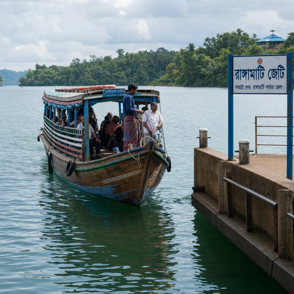
A wooden passenger boat approaching a Rangamati jetty on Kaptai Lake
A lake base where many days begin at a jetty.

Lake district

Rangamati

Kaptai Lake is the organising feature: begin in Rangamati town, then travel by boat toward forested shores, market settlements and Shuvolong's seasonal cascade.

  • Boat days
  • Lake views
  • Town base

Best fit: first-time visitors who want an accessible base and a mix of water, culture and gentle outings.

Plan Rangamati
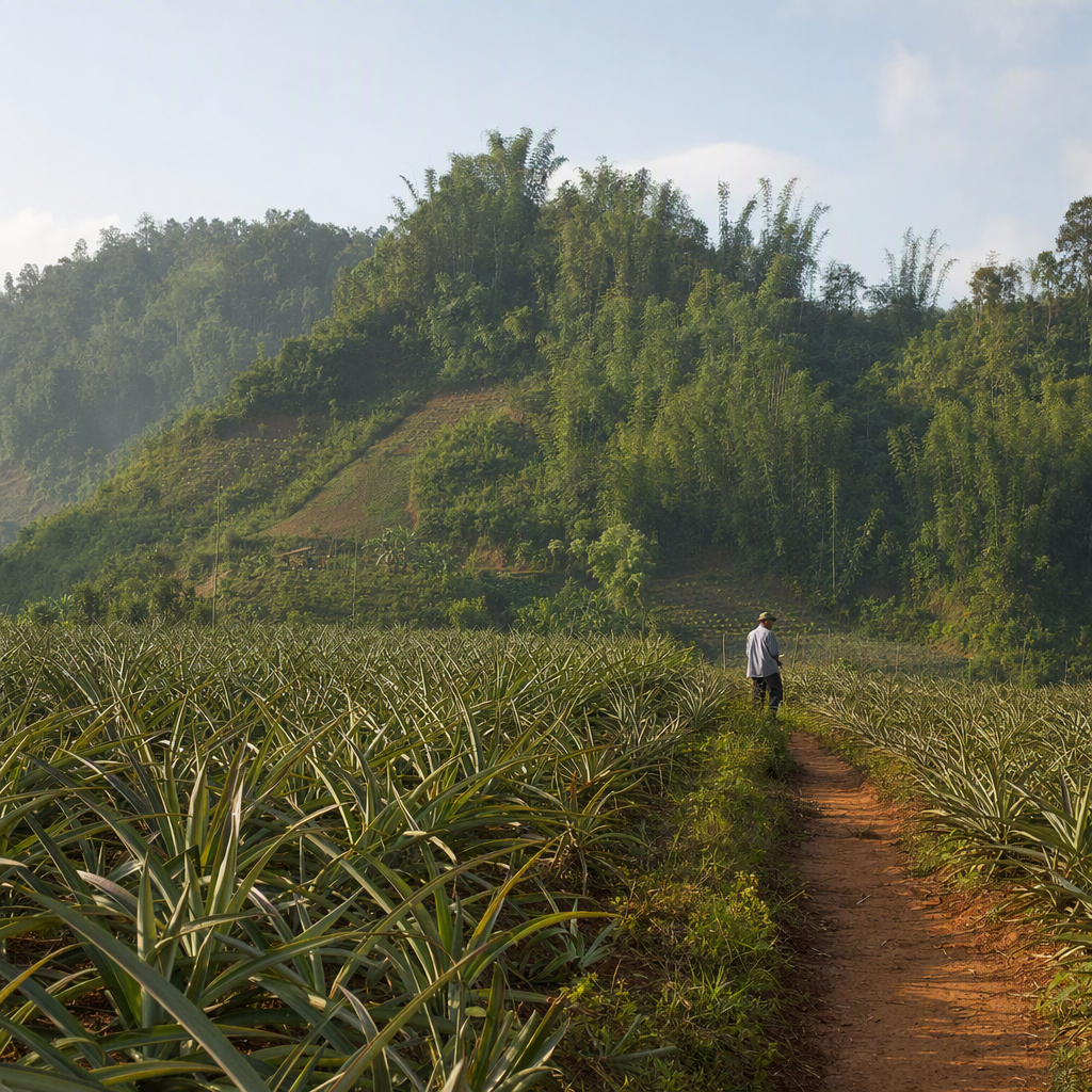
Pineapple fields on red soil below bamboo-covered Khagrachari hills
Compact road trips connect the town with farms, caves and waterfalls.

Compact adventures

Khagrachari

A practical town base for Alutila's cave, Richhang's seasonal waterfall and ridge-road excursions, with many outings possible as short day trips.

  • Cave walk
  • Waterfall
  • Short outings

Best fit: travellers who prefer active half-days, road scenery and a straightforward central base.

Plan Khagrachari
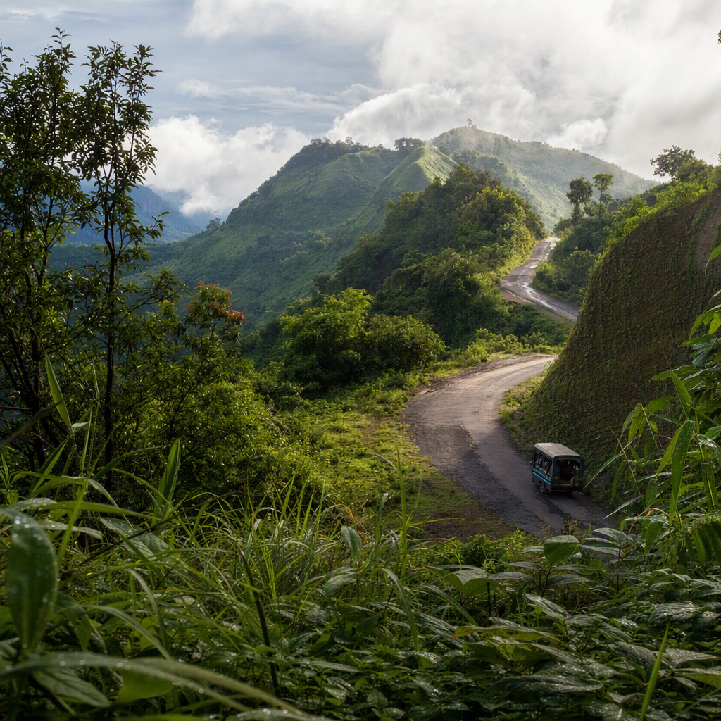
A winding road crossing a steep green Bandarban ridge beneath low cloud
Ridge roads make daylight, weather and access checks part of every plan.

High ridges

Bandarban

The steepest-feeling district, ranging from viewpoints near town to longer routes toward Ruma, Thanchi and remote hill communities where guides and checks may be required.

  • Ridge roads
  • Guided routes
  • Remote country

Best fit: experienced, flexible travellers prepared to verify access, hire local support and adjust plans.

Plan Bandarban

Plan before choosing

What all three districts share

Season

November to February usually brings cooler, drier travel. March and April are hotter. Monsoon rain can intensify waterfalls but also bring slippery trails, landslides, rough water and road disruption.

Access

Road transport from Chattogram is the usual gateway. Public buses serve district towns, while reserve vehicles and locally arranged jeeps are common for onward routes. Travel times are traffic and weather dependent.

Permissions

Registration, checkpoints, guide rules and temporary closures can vary by nationality, upazila and current security conditions. Confirm with your lodging, district administration and local tourism police immediately before travel.

Respect

The region is home to many Indigenous peoples with distinct languages, faiths and traditions. Ask before photographing people, dress appropriately at religious places, buy directly from local makers and treat villages as homes, not exhibits.

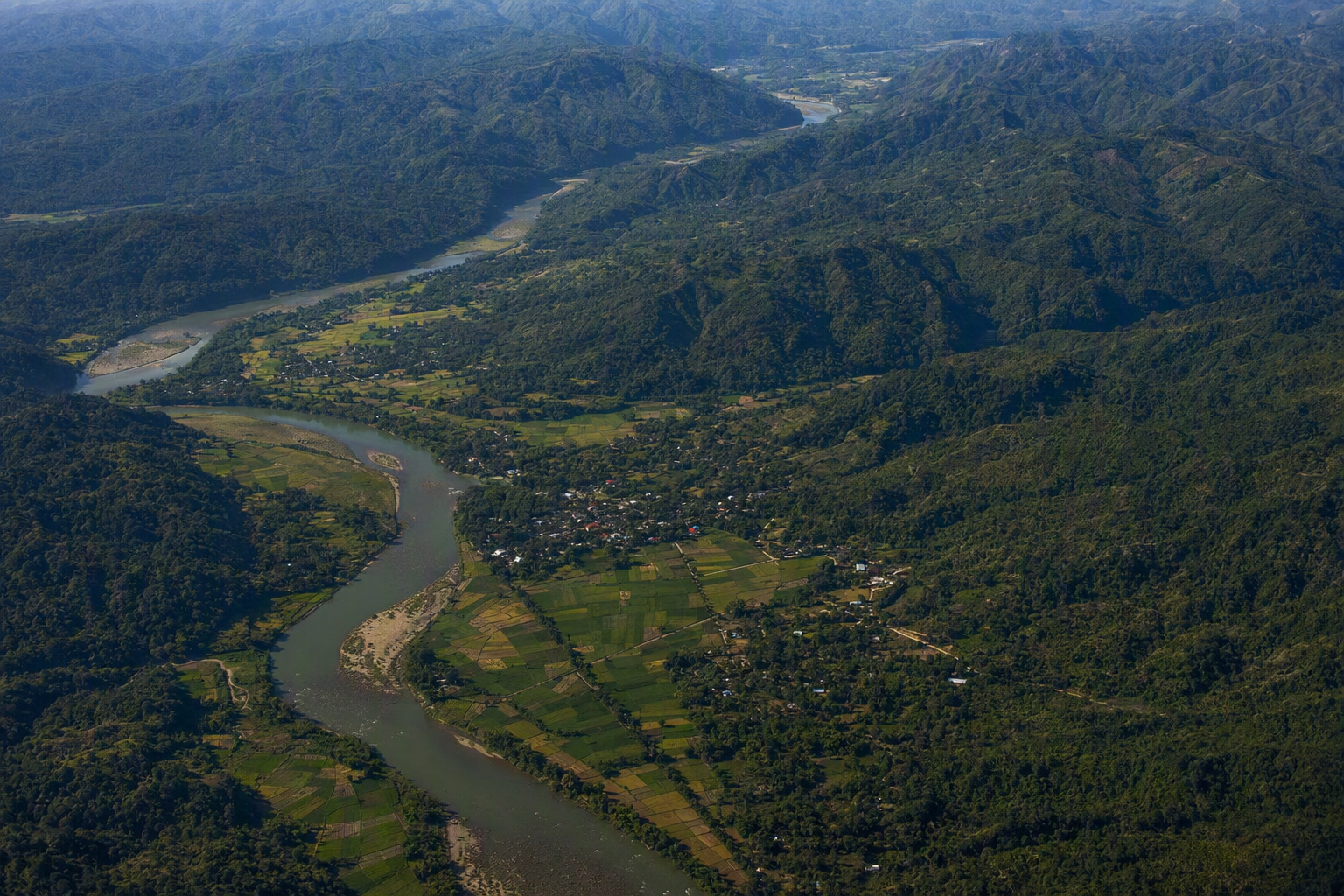
Oblique aerial view of forested Hill Tracts ridges, a winding river, farms and small settlements
Read the terrain before the timetableThis aerial overview is not a route map. It shows why short straight-line distances can still involve winding roads, river crossings and long transfers between district bases.