What to expect
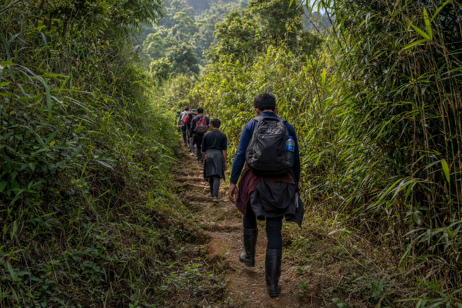
Bandarban's ridges can involve repeated steep ascents, loose earth, bamboo or log crossings, heat, exposed sun and long gaps between services. This is not a fixed summit itinerary. Named trails and visitor permissions can close or change with little notice. Build the trip with a reputable locally based guide only after current route access is confirmed, and keep a lower, shorter alternative ready.
A realistic day starts early, moves at conversation pace and ends well before dark. Village accommodation or meals must be arranged in advance and remain subject to host consent. Facilities may be simple, water may need treatment, and mobile coverage may be intermittent or absent.
Preparation
- Train for consecutive days of hills while carrying your intended pack. Break in grippy footwear before arrival.
- Give the guide relevant medical, allergy and mobility information. Carry personal medication plus a buffer.
- Pack lightly: 2 litres or more of water capacity as advised, purification method, sun and rain protection, warm layer, head torch, power bank, blister care and dry bags.
- Leave a route plan, guide contact, group list and overdue time with a trusted person. Carry identification and copies required by current rules.
- Agree evacuation options, guide-to-guest ratio, inclusions, porter terms, cancellation policy and who makes the turnaround call.
Weather and ground
The dry season is generally the most workable, but heat, haze, rain and cold nights at elevation remain possible. During and after heavy rain, landslides, swollen streams, slippery clay and blocked roads can make a familiar path unacceptable. Consult the Bangladesh Meteorological Department and local authorities. Do not use a forecast app as proof that a trail is safe.
Getting there and away
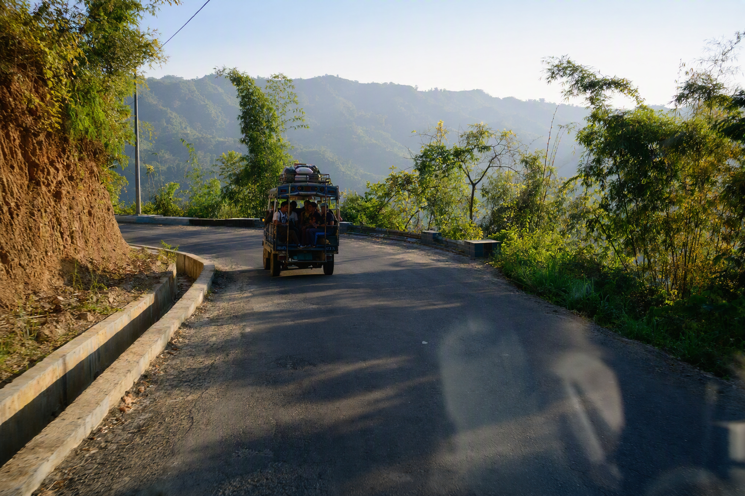
Reach Bandarban town by road with a day of margin before trekking. Trailheads may require a reserved four-wheel-drive vehicle, local transport changes and checks. Vehicle safety, road surface and driver rest matter as much as walking fitness. Avoid night road travel where possible, confirm the return vehicle before leaving coverage and do not book a tight onward flight or train.
Safety and decision points
Turn around for route uncertainty, a closed checkpoint, rising water, thunder, landslide signs, illness, heat stress, failing daylight or a group member moving unsafely. Never separate the party. Treat all streams as potentially unsafe after rain. There is no guarantee of rapid rescue, so conservative choices are essential. International travellers should check their government's current advice and whether insurance explicitly covers trekking in the CHT.
Accessibility caveats
This route profile is not step-free and may include gradients, gaps and surfaces beyond conventional all-terrain wheelchair capability. Travellers with balance, vision, joint, cardiac or fatigue considerations should request an exact route description rather than an “easy” rating. A meaningful alternative can pair short roadside viewpoints, a town-based cultural visit and accessible lodging, but ramps, handrails and adapted toilets are not dependable. Ask for current images and measurements.
Community respect
- A guide does not replace community permission. Do not enter homes, schools, fields, religious sites or burial places uninvited.
- Ask before photographing or recording. Do not geotag sensitive places or publish names and images without informed consent.
- Use respectful dress, keep voices low, and avoid alcohol or disruptive behaviour in host communities.
- Pay guides, cooks, hosts and porters agreed rates promptly. Confirm pack weights and never pressure someone to carry an unsafe load.
Conservation on trail
Stay on the route your guide approves. Do not cut vegetation, collect plants, buy wildlife, use playback to attract birds, light fires or leave soap and waste in streams. Carry out sanitary products and all non-biodegradable waste. Human waste disposal must follow the guide's locally appropriate, water-safe method. Refill rather than relying on small plastic bottles.
Sources and live checks
Changing access and security cautions are cross-checked against the UK FCDO Bangladesh advice and US State Department advisory. Weather should be checked with BMD. Advisories describe risk, but only relevant Bangladeshi authorities and local communities can confirm present access.