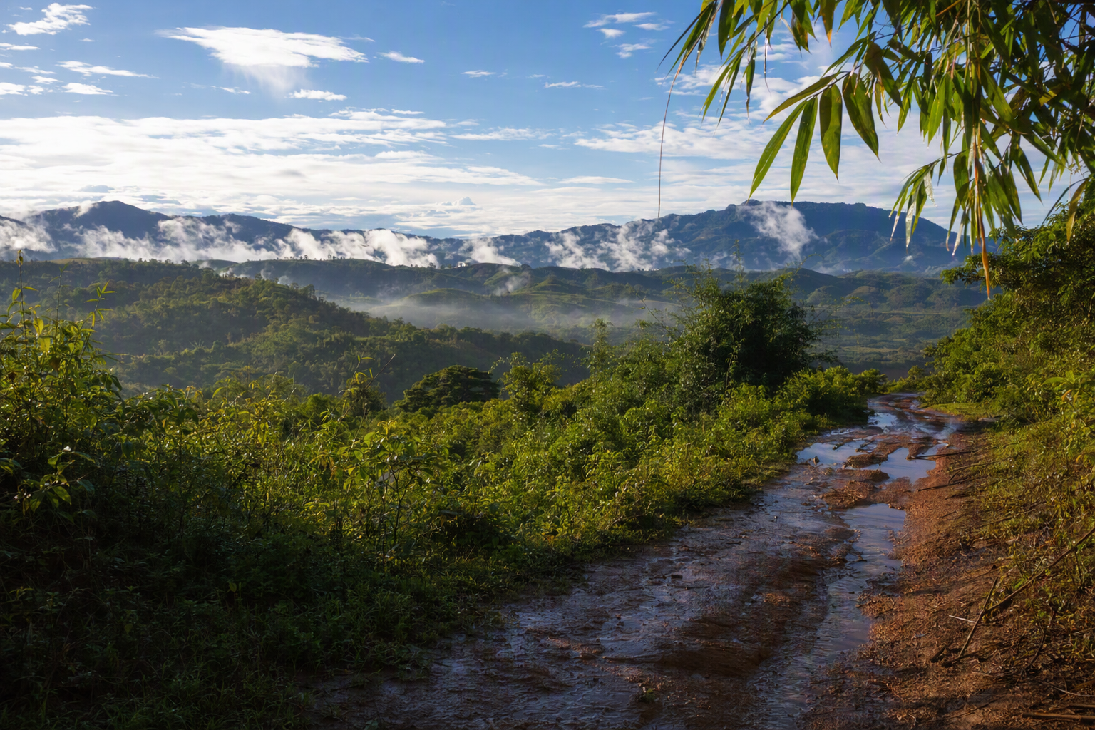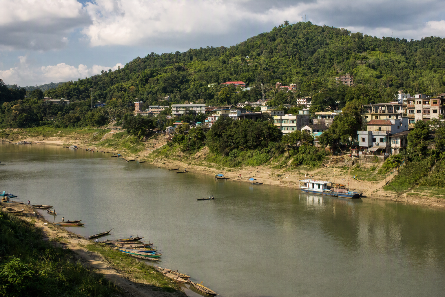
A travel story can make heavy rain sound cinematic. For the person deciding whether a road, river crossing or steep footpath is safe, atmosphere is the least important part.
Begin with the forecast, not the photograph
The CHT has a tropical monsoon climate, with much of its rain concentrated from June through October. Rainfall is not evenly distributed, and one district-wide label cannot describe conditions in every valley or ridge. In Bandarban, steep terrain, waterways and road cuts can turn sustained rain into disrupted transport, flooding or landslide danger.
A responsible notebook records time and consequence: when rain began, who changed a plan, which public authority issued a warning, how long a route was closed. It does not encourage a driver or guide to continue so the writer can preserve an itinerary. “We turned back” is a complete and often necessary scene.
Expertise is situated
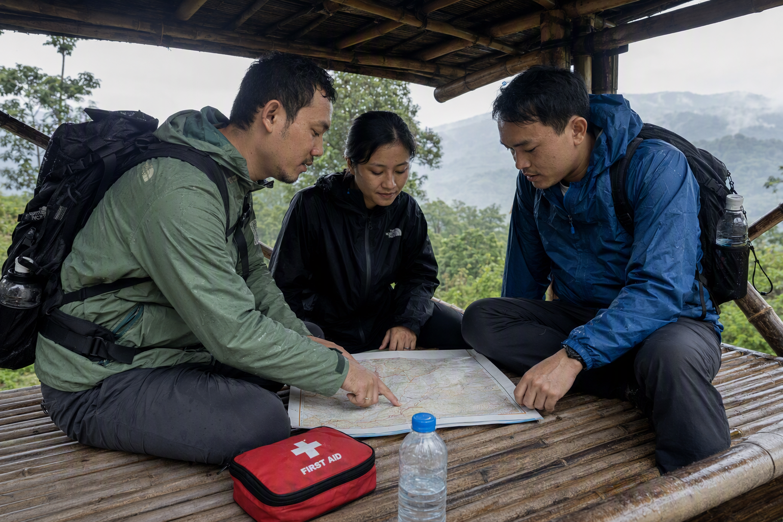
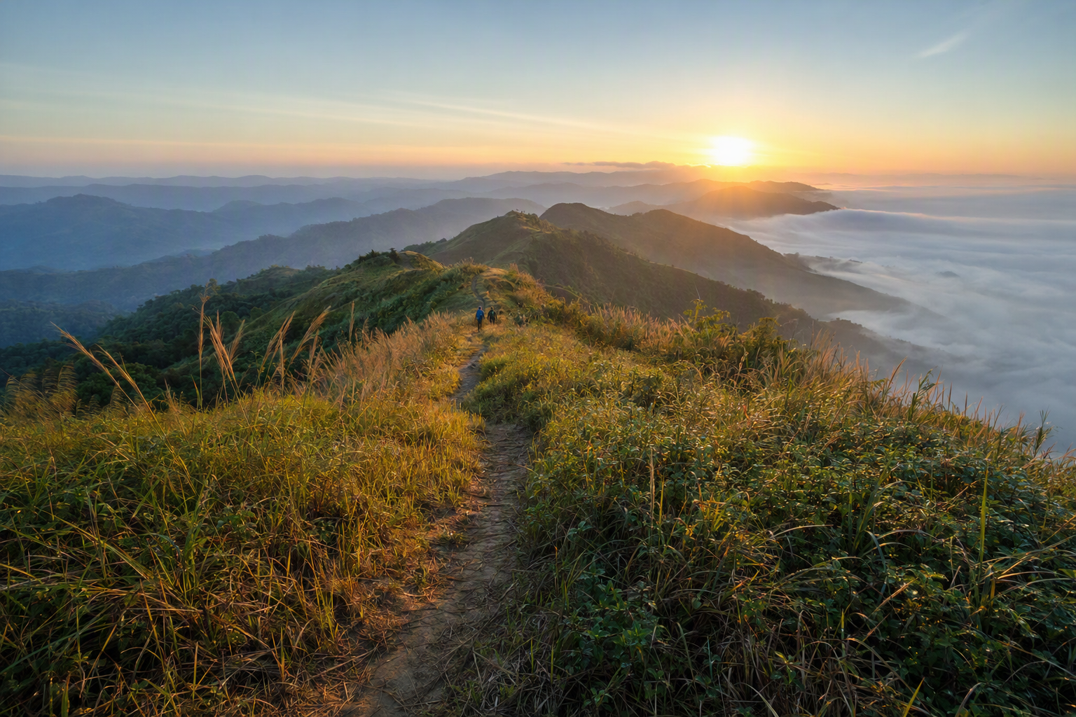
Residents may read water colour, cloud, soil, sound or earlier rainfall as practical signs. That knowledge deserves attribution, but it should not be romanticised as mystical or treated as a substitute for meteorological and geotechnical warnings. Local observation and public forecasts answer different questions. Both can inform a decision, while the person taking the physical risk retains the right to refuse.
Do not turn a guide into a nameless weather oracle. Ask what they want to be called, compensate their time and make clear that “local people always know” is neither fair nor true. Climate variability, altered slopes, drainage, road construction and extreme events can exceed remembered patterns.
Risk is not equally shared
A visitor who delays a trip loses a day. A worker may lose income; a family may be cut off from a market, school or clinic; a driver may face pressure from passengers. Reporting should make these differences visible without mining hardship for drama. Ask what support or infrastructure people consider important rather than supplying an outsider’s solution.
Photography after a damaging event requires particular restraint. Do not identify affected children, enter damaged homes, obstruct emergency work or publish exact locations that residents want protected. Secure consent when people are no longer under immediate pressure, and do not equate willingness to talk with willingness to be photographed.
Leave the ridge unnamed when needed
Precise place names can help accountability, but they can also expose a private settlement, sacred site, sensitive border area or unsafe route. Discuss location detail with contributors and editors. “Bandarban district” may be the ethical level of precision. Never use a story to evade current permit, security or community access requirements.

What remains after rain
The monsoon is not only disaster. It is part of agricultural calendars, water supply, forest ecologies and ordinary seasonal life. The task is to hold that fullness without making weather a personality shared by every community. Report one place, one interval and the people who chose to speak. Then state what you do not know.